Reading Your County Soil Survey for a Crawl Space
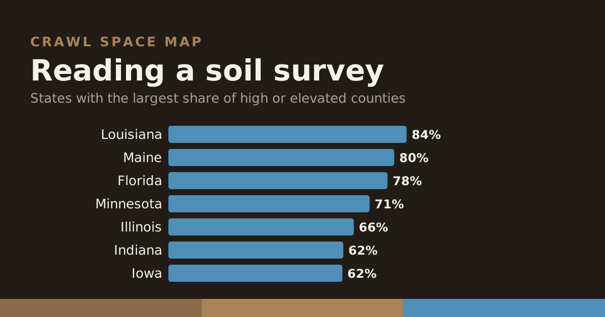
USDA's Natural Resources Conservation Service has mapped the soils of nearly every county in the country. The surveys are written for farmers and engineers, but four of their fields answer the question a homeowner actually has: does the ground under this house stay wet?
Drainage class
How quickly water leaves the soil after rain, in seven steps from excessively drained to very poorly drained. The three wettest classes — somewhat poorly, poorly and very poorly drained — describe soil that stays saturated near the surface for significant parts of the year. A crawl space dug into that soil sits in a wet hole.
Hydrologic soil group
A, B, C or D, from sands that soak water up (A) to clays and high-water-table soils that shed it slowly (D). Dual groups like B/D mean the soil behaves as D until it is artificially drained. Group D under a crawl space means water arriving from the yard does not drain away fast.
Seasonal water table
The shallowest depth groundwater reaches in a normal year. NRCS records it only where it comes within about two metres, so its presence in a mapunit is itself a warning. Under two feet, it can reach the footings of a typical crawl space.
Flooding and ponding
Flooding frequency (none, rare, occasional, frequent) for overflow from streams; ponding for water that collects on the surface with nowhere to go.
Where the score comes from
Every county page on this site shows those four fields for its soil, weighted by acreage, and combines them into a 0–100 score; the methodology gives the weights. Of 2,722 counties, 259 score high and 536 elevated.
For your exact lot, USDA's Web Soil Survey lets you draw an area of interest and read the same fields for the mapunits under it — the county figure is the starting point, not the last word.
A worked example
Take a county whose survey shows 40% poorly drained soil, half its acres in group D, and a seasonal water table reported on a third of its land at about 1.5 feet. Those three facts together describe a place where, after a wet week, the ground under many houses is saturated to within a foot or two of the surface and drains slowly. A crawl space there will see liquid water against its walls and footings in some seasons, and no amount of venting will dry it. The county page for a place like that tells you so in its first paragraph.